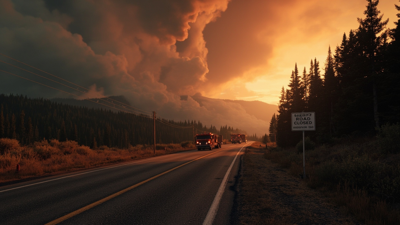
TL;DR: On Aug. 18, 2026, Oregon officials added Level 2 and Level 1 evacuations for the Paradise Fire in Umatilla County and issued a Level 3 Go Now order for part of Crook County near the Rowe Creek Complex, while Highway 204 stayed closed for the Hagen Fire.
Evening orders put two counties on alert
Oregon's evening wildfires update for Aug. 18, 2026 reported new evacuation actions in Umatilla and Crook counties, according to FOX 12 Staff reporting published as "Wildfire updates: New evacuations orders issued for Umatilla, Crook Counties."
At 7:15 p.m., additional Level 2 "Be Set" and Level 1 "Be Ready" evacuations were issued for the Paradise Fire in Umatilla County. The update listed the time but did not publish zone numbers in that evening post.
At 7 p.m., a flare up in the Rowe Creek Complex Fire prompted Level 3 evacuations in Crook County for the east side of NE Mill Creek Road from the intersection of FS RD 3370, described as the end of the pavement, north to the Wildcat Campground, according to the sheriff's office. Residents were told to view the evacuation map linked by the county.
At 5:45 p.m., Level 3 "Go Now!" evacuations had been issued for the Fern Ridge Road area west of Sweet Home, according to the Linn County Sheriff's Office. By 7:45 p.m., an all clear was issued and evacuation orders were lifted for that Fern Ridge Road area. That Linn County sequence shows how quickly local orders can be issued and then lifted in the same evening.
The same evening update noted that Mt. Hood Meadows had hosted hundreds of firefighters while they battled wildfires in the area over the past week. The resort asked people who wanted to show gratitude to mail a thank you card or sign to PO Box 470, Mt. Hood, OR 97941.
Umatilla County: Paradise Fire prompts more Be Set and Be Ready notices
The Paradise Fire was the driver for the new Umatilla County notices on Tuesday evening. The U.S. Forest Service update titled "Paradise and Hagen Fire Updates for Aug 18, 2026" listed the Paradise Fire at 5,423 acres with 0% containment and 349 personnel assigned.
The Forest Service update was released Aug. 18 with contact information for Fire Information at 541-970-7128 and [email protected]. It identified Northern Rockies Team 6 and Incident Commander Rich Cowger as the command for that day.
For household planning, the Forest Service message said fire conditions can change rapidly and that evacuation levels and road closures are frequently adjusted. It directed residents to county emergency management websites for Umatilla County, Union County and the Confederated Tribes of the Umatilla Indian Reservation, along with Columbia County Emergency Management and Walla Walla County Emergency Management.
The Forest Service described defensive firing continuing in the southeast portion of the Paradise Fire along FS Road 64. Crews were extending fire lines, creating depth and staying ahead of the fire. Unmanned Aircraft Systems, described as drones, were assisting ground resources by picking up heat signatures with infrared cameras while crews took time to stay ahead of the fire with burning operations.
On the northern side of the Paradise Fire, resources continued to monitor the fire's edge, keeping the footprint minimal in the Mill Creek watershed. Chipping and mastication efforts continued around the fire perimeter, reducing fuel in critical portions of the fire.
A new incident management team, Southern Area Team 3, was transitioning in to take command of the fire from Northern Rockies Team 6 on Wednesday, Aug. 19. That planned handoff was listed as a key message in the Aug. 18 update.
Crook County: Level 3 order tied to Rowe Creek Complex flare-up
The Crook County Level 3 order covered a defined road corridor rather than a whole community. The order applied to the east side of NE Mill Creek Road from the intersection with FS RD 3370 north to Wildcat Campground.
The evening update attributed the boundary to the sheriff's office and linked to an evacuation map. Households in that corridor were under a Go Now instruction at 7 p.m. on Aug. 18.
The order followed a flare-up in the Rowe Creek Complex Fire. The same evening update did not list acreage or containment for Rowe Creek Complex on Aug. 18. It focused on the evacuation boundary and the sheriff's office as the source for the order.
The update also listed Crook County among counties with current evacuation levels, directing readers to Facebook.com/CrookCountySheriff for county notices. It listed Umatilla County notices at Facebook.com/UmatillaCountySheriff and Union County notices at Facebook.com/UnionCountyORSheriff.
Other counties listed with evacuation information links were Baker, Clackamas, Deschutes, Gilliam, Grant, Harney, Hood River, Jefferson, Sherman, Wheeler and Wasco counties, plus the Confederated Tribes of Warm Springs, Oregon. The posted links pointed to county sheriff Facebook pages for Baker, Clackamas, Deschutes, Gilliam, Grant, Harney, Hood River, Jefferson, Sherman, Wheeler and Wasco counties and for the Confederated Tribes of Warm Springs.
Hagen Fire holds Highway 204 closed and evacuations in place
While Paradise and Rowe Creek drove the new Aug. 18 evacuation posts, the Hagen Fire kept a major road closed and existing evacuations in place. Union County reported in a notice titled "Highway 204 to Remain Closed and Current Evacuation Levels Remain in Place" that Highway 204 would remain closed and current evacuation levels would stay in place.
The Union County notice was stamped 08-18-2026 at 2:57 p.m. It said the Joint Emergency Operations Center, which includes the Umatilla County Sheriff's Office, Umatilla County Emergency Management, Union County Sheriff's Office, Union County Emergency Management and the Confederated Tribes of the Umatilla Indian Reservation, remains actively engaged with Incident Management Team 6 regarding the Hagen Fire.
The Joint Emergency Operations Center and Fire IMT 6 requested that the Oregon Department of Transportation maintain the closure of Highway 204. Although a reopening of Highway 204 was tentatively scheduled for that day at 4 p.m., fire activity was increasing that afternoon and challenging weather conditions persisted.
The Forest Service listed the Hagen Fire at 57,678 acres with 19% containment and 957 personnel assigned on Aug. 18. It said the priority on the Hagen Fire continued to be on the north central area, south of Highway 204.
On Monday, two hotshot crews finished building handline from Zig Zag Springs down to the North Fork of the Umatilla. They used defensive burning to remove fuels, reinforce lines and keep spread from moving north and west toward critical infrastructure. More defensive burning was planned in the southeast area, connecting edges of burnt fingers, creating depth and bringing the edge closer to control lines where mop-up is more beneficial.
Mop-up continued across the fire perimeter, along with chipping vegetation with masticators and woodchippers and prepping roadways to allow more defensive burning. Yesterday afternoon, resources on the Hagen Fire responded to a new start west of Elgin and assisted local resources in catching the approximately 26-acre start called the Phillips Creek Fire.
Emergency managers said they will reopen the highway when it becomes safe to do so. They asked people to avoid the fire area, including access by alternate routes. The Union County notice directed travelers to check TripCheck.com for updates.
Why officials kept people out of closed areas
Union County officials said both sheriff's offices had responded to an increase in unauthorized motorists entering areas near the fire perimeter to observe fire activity. The notice said the behavior is unlawful on closed roads and presents significant issues for safety and continued fire operations.
The notice said fire resources diverted to interface with the public are unable to actively engage in fighting the fire, including structure protection if that becomes necessary. Emergency managers said they remain committed to safety of the public and fire crews.
The Forest Service also listed area closures for public safety and firefighting operations. It cited an expanded closure order for the Hagen Fire, a Hagen and Horse Ridge Fire Emergency Closure and a Paradise Fire Emergency Closure.
It listed public use restrictions for smoking, off-road travel and chainsaw use across the entire Umatilla National Forest. It listed temporary flight restrictions over the wildfires and warned that every time a drone is spotted near the fire all aircraft are grounded until officials can be sure the drone is clear. The update pointed readers to knowbeforeyoufly.org and to Oregon Department of Transportation Trip Check for road closure information.
For smoke, the Forest Service pointed to https://fire.airnow.gov, along with detailed northeast Oregon air reports and detailed southeast Washington air reports. The Umatilla National Forest Supervisor's Office was listed at 72510 Coyote Road, Pendleton, OR 97801, phone 541-278-3716.
Pacific Northwest led nation in large-fire activity
The National Interagency Fire Center said the Pacific Northwest is the most active fire region in the U.S. as wildfires continued to burn in Oregon and Washington on Tuesday, according to the Aug. 18 evening update.
There were 34 uncontrolled large fires in the region, including two new fires that started on Monday. So far that year, firefighters had responded to 49,000 wildfires across the country, marking a 129% increase from the 10-year average.
Fire weather on the Umatilla National Forest fires added pressure on Tuesday. The Forest Service said warmer and drier conditions had replaced cooler and wetter conditions from the weekend, and fuels had begun to dry and become available for a longer burning period.
Near critical fire weather was expected over the fire area with relative humidity of 18-20% and wind gusts around 20 mph. The update said to expect increased fire activity and that fire managers and firefighters were preparing for increased intensity and would move resources to where needs were most critical.
What households should check next
County sheriff pages are the evacuation source named in the Aug. 18 updates. The evening update pointed Crook County residents to the sheriff's office and its evacuation map, Umatilla County residents to the Umatilla County Sheriff page, and Linn County residents to the Linn County Sheriff's Office and an interactive evacuation map.
For the Hagen and Paradise fires, the Forest Service pointed to Umatilla County Emergency Management, Union County Emergency Management and the Confederated Tribes of the Umatilla Indian Reservation for evacuation levels. Union County pointed to the Genasys evacuation map and to TripCheck.com for road status.
Households near NE Mill Creek Road, FS RD 3370 and Wildcat Campground needed to treat a Level 3 notice as leave immediately. Households in the Paradise Fire area added Tuesday evening needed to know whether they were in Level 2 Be Set or Level 1 Be Ready and be prepared for frequent adjustments. Highway 204 travelers needed to avoid the closed highway and alternate routes into the fire area until emergency managers and the Oregon Department of Transportation reopen it as safe.
Sources referenced
- Paradise and Hagen Fire Updates for Aug 18, 2026 | Forest Service (https://www.fs.usda.gov/r06/umatilla/newsroom/releases/paradise-and-hagen-fire-updates-aug-18-2026)