TL;DR: Oregon and Washington both use Level 1 — Be Ready, Level 2 — Be Set, and Level 3 — Go Now, and multiple Level 1, 2 and 3 notices were in effect across the Pacific Northwest over Labor Day weekend.
Wildfire-driven evacuation orders and warnings were in effect across multiple counties in Washington, Oregon and Idaho this Labor Day weekend, with tens of thousands of residents told to leave their homes and many others on standby alert as fire conditions remained critical throughout the Pacific Northwest, according to NW FireWatch in "Evacuation Orders Span Three States: From Spokane Neighborhoods to Clackamas River Corridor."
That report, dated August 31, 2026, described the weekend as a period of critical fire conditions. A separate NW FireWatch guide dated September 1, 2026, titled "Evacuations in Effect Across PNW: What You Need to Know About Oregon and Washington Level Systems — NW FireWatch," said dozens of active wildfires were burning across Oregon, Washington and Idaho, with thousands of residents living under evacuation orders, warnings or watches.
Households in or near mapped zones were urged to confirm their current zone and level with a county sheriff, county emergency management office, the Oregon State Fire Marshal, or the WA DNR Wildfire Portal, and not to rely on social media rumors or third-party mapping apps for leave-or-return decisions.
Where evacuations were in effect
In north-central Washington, evacuation orders and warnings remained in effect around the Sinlahekin and Ptarmigan fires, with communities near Lake Chelan, Tonasket, Inchelium and Mead under varying levels of evacuation notice, according to NW FireWatch in "Evacuation Orders Span Three States: From Spokane Neighborhoods to Clackamas River Corridor."
The September 1 NW FireWatch level-systems guide added detail for Chelan County and Okanogan County. It reported Level 1, 2 and 3 notices covering parts of the Lake Chelan south shore and the Manson side of the lake for the Little Giant Fire, with residents under Level 3 required to leave immediately. For Okanogan County, it reported Level 2 evacuation warnings in effect for Tonasket and nearby communities for the Sinlahekin Fire / Ptarmigan Fire, with residents told to be ready to leave on short notice.
In the Spokane area, the same August 31 NW FireWatch three-state report said the Spokane Complex fires swept through urban-wildland interface neighborhoods in late July and early August. At peak, approximately 65,000 residents were evacuated across the Spokane area, including the Indian Trail neighborhood in northwest Spokane that was directly impacted by the Autumn Lane Fire. The report said some areas had been allowed to return as the Fairview Fire reached full containment, while other parts of the Spokane metro remained under evacuation orders or Level 2 warnings as mop-up operations continued.
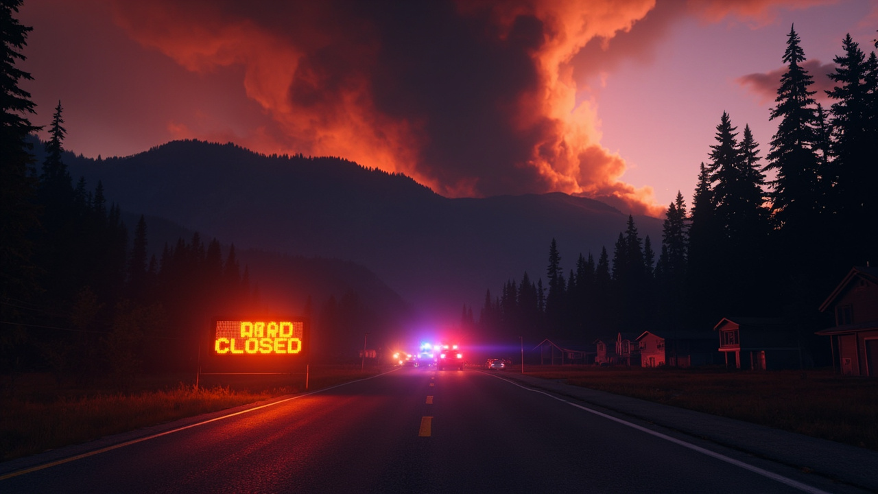
In Oregon, the Clackamas County Sheriff's Office issued a Level 3 "Go Now!" evacuation notice for communities in the Clackamas River corridor southeast of Estacada in response to the Austin and Narrows fires burning in the Mt. Hood National Forest, according to that August 31 NW FireWatch report. Highway 224 — the primary route into the upper Clackamas River Valley — had been closed east of Fish Creek, effectively cutting off access to affected areas. Displaced residents were directed to county evacuation assistance centers.
How big the major Labor Day fires were
Size and containment figures changed by incident and by day, so residents were told to check official incident pages often.
The Little Giant Fire was Washington's largest wildfire at almost 171,000 acres, according to KPQ in "Little Giant Fire Now Washington's Largest Wildfire." KPQ, reporting August 31, 2026, said an unmanned aircraft mapped the entire perimeter at 170,783 acres with 49% containment as of Monday afternoon after better visibility Sunday. The report said the fire started with a lightning strike on July 15th and had over 1,900 personnel assigned, including 9 helicopters. It said evacuation levels were reduced Monday in all three areas, the Little Giant, Entiat Valley, and Chelan sectors, with additional reductions to Level 3 areas expected in the next several days as fire conditions continued to improve and containment increased.
To the north, containment on the Sinlahekin Fire was down after a weekend of cooler but windier weather that aided the blaze in spreading to over 166,000 acres with 40% containment, according to the same KPQ report. That report also listed the Kaiser Canyon Fire on the Colville Indian Reservation entering its second week at roughly 138,000 acres with 90% containment, and the Three Queens Fire in Kittitas County at almost 9,000 acres with 5% containment and minimal growth over the weekend.
In Clackamas County, the Austin Fire grew more than 1,000 acres over the weekend, now burning an estimated 11,682 acres, according to KATU in "Austin Fire grows to nearly 11,700 acres in Clackamas County, still 0% contained." KATU, reporting August 31, 2026 at 10:16 AM, said the fire was still considered 0% contained, with firefighters working to establish containment lines and conducting burning operations Sunday along Forest Road 46 on the western side. KATU said crews Monday were continuing burning operations farther north to tie the line to Forest Road 4640, using roads as indirect firelines.
In northeast Oregon, the U.S. Forest Service reported August 31, 2026 that the Hagen Fire was 60,975 acres with 45% containment and 879 personnel, while the Paradise Fire was 9,329 acres with 15% containment and 506 personnel, according to the Forest Service in "Paradise and Hagen Fires Update - August 31, 2026." The Forest Service said containment increased to 45% on the Hagen Fire the prior day and that crews started tactical firing operations along the fire's southern edges on Sunday, with smoke potentially visible as a result.
An August 28 NW FireWatch report titled "Thousands Under Evacuation Orders as Fires Threaten Communities Across Oregon, Washington, and Idaho" listed the 93,841-acre Grasshopper Fire in the Mt. Hood National Forest at 76% contained as of August 28, with Level 3, Level 2 and Level 1 notices in Hood River, Wasco and Clackamas counties. The same report listed the 55,133-acre Wrights Spring Fire in Klamath County, the 50,000-acre Wildhorse Fire in Lincoln and Blaine counties under Level 2, and a Level 2 notice for Silver City for the Flint Fire burning 45 miles southwest of Nampa.
Washington's 3-level system
Washington state uses a three-level evacuation system managed by county emergency managers, according to the September 1 NW FireWatch level-systems guide.
Level 1 — Be Ready means a threat exists in the area. Residents are told to monitor local news, pack an emergency kit and know their route.
Level 2 — Be Set means a significant threat exists and residents should be ready to leave at a moment's notice. The guide said vulnerable populations including elderly, disabled, those with medical needs and livestock owners should consider leaving now.
Level 3 — Go Now means evacuate immediately without waiting. The guide said the threat is imminent or the area is unsafe, and residents should not return until officially cleared.
The August 31 three-state NW FireWatch report phrased the same three steps as Be Ready, Be Set with those with special needs, livestock or who need extra time leaving now, and Go Now with immediate danger and no return until told it is safe.
Oregon's 3-level system
Oregon similarly uses a three-level system for wildfire evacuations, according to the September 1 NW FireWatch level-systems guide.
Level 1 — Be Ready means be aware of danger and be prepared to leave if conditions worsen, with a go-bag ready.
Level 2 — Be Set means be prepared to leave at any moment. The guide said vulnerable persons should leave now and livestock and pets should be evacuated.
Level 3 — Go Now means leave immediately as a life-safety emergency. The guide said emergency services may not be available to assist those who remain.
Oregon's active evacuation orders are tracked on the Oregon State Fire Marshal's interactive map at osfminfo.org/maps, which the guide described as updated as conditions change and one of the most reliable real-time tools available to residents.
How to get alerts and verify your zone
Washington residents can receive emergency notifications through their county's Everbridge or AlertSense systems and should check their county's website to register a phone number, according to the September 1 NW FireWatch guide. The August 31 three-state report added that residents can register through their county's emergency management office or WA Alert in Washington and OR Alert in Oregon.
Oregon residents can look up their evacuation zone at the Oregon Department of Emergency Management's wildfire readiness page, while Washington residents can check current zone maps through the WA DNR Wildfire Portal or Ready.wa.gov, according to NW FireWatch in "Labor Day Fire Preparedness: What Every PNW Resident Needs to Know This Weekend." Idaho residents should contact their county sheriff's office for local zone information, according to the same Labor Day preparedness guide.
Other official sources listed across the NW FireWatch reports were InciWeb at inciweb.wildfire.gov for incident information, AirNow at airnow.gov for real-time air quality, the WA DNR Wildfire Portal at dnr.wa.gov, the Oregon State Fire Marshal at osfminfo.org, and 911 to report new fires. The Umatilla National Forest update listed county sheriff Facebook pages, county emergency management pages, TripCheck at tripcheck.com for road closures, and the AirNow Fire and Smoke Map at fire.airnow.gov.
Officials warned during the Spokane event that misinformation spread through a popular mapping app led some residents to return prematurely during active Level 3 orders, according to the August 31 three-state NW FireWatch report. Authorities emphasized waiting for the official all-clear from the county sheriff and continuing to monitor local alert systems even after returning, because fire behavior can change rapidly.
What to pack for a fast exit
Every household in a fire-prone area should maintain a go-bag that can be grabbed in minutes, according to the September 1 NW FireWatch guide. Listed essentials included important documents such as ID, insurance and property records in a waterproof bag, medications and medical supplies for at least 7 days, phone charger and backup power bank, cash because ATMs may be unavailable, change of clothes and sturdy shoes, water at one gallon per person per day and non-perishable food for 3 days, first aid kit, and N95 masks for smoke protection.
The August 31 Labor Day preparedness guide gave a closely matching list: copies of IDs, insurance cards, medication lists and financial account information in a waterproof bag, at least three days of prescription medications, charger and portable battery pack, cash in small bills, clothes and sturdy shoes, N95 or KN95 masks, water and non-perishable food for 72 hours, pet supplies and records, and portable hard-to-replace items such as photos and heirlooms. It said a bag should be ready to grab in under two minutes.
Animals, defensible space, restrictions and return
Both Oregon and Washington have programs allowing livestock and large animal owners to pre-register animals with local emergency management to help authorities prioritize resources for horses, cattle and other livestock, with owners told to contact a county emergency manager or agricultural extension office before an emergency, according to the September 1 guide.
For homes near fire-prone areas, the Labor Day guide described Zone 1 from 0–30 feet and Zone 2 from 30–100 feet, including eliminating dead vegetation, pruning trees to 10-foot canopy height, spacing plants and shrubs, removing branches within 10 feet of chimneys, thinning trees and shrubs and removing dead fuels in the outer zone, clearing gutters, removing wood piles from against structures, and keeping house numbers visible.
The same guide said all campfires were prohibited across most National Forest, BLM and state public lands in Oregon, Washington and Idaho under emergency closure orders, and that Washington's statewide burn ban prohibited all outdoor burning statewide through September 30. Listed prohibitions included no campfires, charcoal fires or fire rings in restricted areas, no fireworks in fire-affected areas, and no target shooting with steel-core or incendiary ammunition on public lands, with vehicles to stay on paved or gravel roads.
For return, authorities emphasized checking for structural damage before entering burned structures, watching for hazardous trees and debris, treating ash and post-fire soil as potentially containing toxic residue and wearing protective equipment during cleanup, and contacting 211 or a local American Red Cross chapter for financial or housing help, according to the August 31 three-state report.