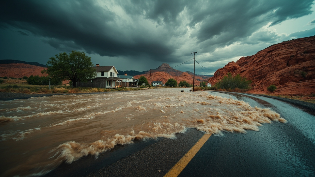
TL;DR: On Aug. 28, 2026, households in Emery County, Utah, were told to prepare for possible flooding as heavy thunderstorms developed, while flash-flood warnings covered Zion National Park, Hurricane and other parts of southern Utah.
Emery County told residents to prepare for flooding
The Emery County Sheriff's Office issued a civil emergency message on Aug. 28, 2026, stating, "Due to heavy thunderstorms prepare for possible flooding in your area," according to the Emergency Alerts listing from Forth that archives county alerts.
That alert was centered on Huntington, Utah, and was timed at 2:07:25 p.m. PDT on Aug. 28, 2026, according to the same Emergency Alerts listing.
The message did not list specific roads or neighborhoods, according to the Emergency Alerts listing. It presented the risk as area-wide preparation for possible flooding during heavy thunderstorms.
For households, that wording matters for planning. A preparation message means residents were being asked to get ready before water arrived, rather than responding after flooding was confirmed.
The sheriff's office issued a second Emery County alert earlier the same day, at 10:52:26 a.m. PDT on Aug. 28, 2026, centered on Green River, Utah, according to the Emergency Alerts listing.
That morning alert stated, "POSSIBLE HEAVY RAINFALL COULD CAUSE FLASH FLOODING IN SLICK ROCK AND SLOT CANYON AREAS. AVOID CANYONS WASHES AND LOW LYING TERRAIN IN THE GOBLIN VALLEY AND SAN RAFAEL AREA," according to the Emergency Alerts listing.
The affected areas named in that alert were San Rafael Swell and Emery County, according to the summary from Forth of the sheriff's office alert.
The guidance named three types of places to avoid: canyon washes, low-lying terrain, and the Slick Rock and Slot Canyon areas, according to the Emergency Alerts listing. It specifically identified Goblin Valley and the San Rafael area as locations where residents should stay out of washes and low ground.
The same warning language had been used in earlier Emery County alerts during the week, according to the summary from Forth. That repetition indicated that slick-rock country and slot canyons remained a repeated concern when heavy rain was possible.
For household readiness, the practical meaning is direct. Families with plans to hike, camp, drive, or visit in Goblin Valley, the San Rafael Swell, Green River-area washes, or slot canyons were told to stay out of those low places during heavy rainfall events.
Flash-flood warning covered Zion, Virgin River and Hurricane area
A Flash Flood Warning was issued for Zion National Park, including the Virgin River, on Aug. 28, 2026, according to KUTV.
Other impacted locations could include Gould Wash into Hurricane, the National Weather Service said, according to KUTV.
The alert instructed, "Seek higher ground now if in this area," and added, "Never drive through flooded roads!" according to KUTV.
KUTV reported on Aug. 28, 2026, that homeowners in Hurricane were working to clean out their homes from massive flash floods. The report described residents actively cleaning homes after flash flooding in Hurricane.
A Special Weather Statement was also issued for Parowan, Panguitch, Paragonah, and Enoch, according to KUTV. Winds up to 55 mph were possible in that statement area.
The KUTV report was published Aug. 28, 2026, at 3:25 p.m. and updated at 3:29 p.m. the same day. That timing places the Zion warning, the Gould Wash and Hurricane warning language, and the Hurricane home-cleanup reporting within the same afternoon as the Emery County preparation alerts.
For households from southwest to central Utah, the combination expanded the planning area beyond one county. Residents in the Zion area, Hurricane-area washes, and the four communities named in the Special Weather Statement were facing thunderstorm winds and flood risk at the same time Emery County residents were told to prepare for possible flooding.
The National Weather Service language quoted by KUTV gives households two clear actions. The first is to seek higher ground immediately when in a warned drainage, river corridor, or wash area. The second is to avoid driving through flooded roads.
State Route 153 work shows how flood damage limits access
The Utah Department of Transportation began emergency work on State Route 153 in Beaver Canyon, where recent storms caused additional flooding and debris flows that continue to undermine the highway, according to the Utah Department of Transportation announcement dated Aug. 28, 2026.
Initial work focused on creating limited temporary access for property owners and other essential users where conditions allow, according to the Utah Department of Transportation. Crews also planned to remove hazards such as trees, rocks and debris and stabilize stream channels, banks and other areas.
UDOT Region 4 Project Manager Devin Squire said, "Pictures really don't capture the scale of it," in describing damage in Beaver Canyon, according to the Utah Department of Transportation. The agency quoted Squire saying almost everyone taken into the canyon says it is much worse than expected and damage keeps getting worse farther up the canyon.
Flooding and debris flows over the weekend added to extensive damage along the corridor, according to the Utah Department of Transportation. A large section of SR-153 near milepost 13 is severely undermined. A widening crack developed in the pavement above the riverbed, highlighting ongoing instability in the area.
Any limited access will be established only where conditions allow, according to the Utah Department of Transportation. The west side of SR-153 will not reopen for general travel or recreational use this year.
Crews will also conduct surveying, geotechnical investigations and hydrologic studies to help UDOT develop a permanent solution for SR-153, according to the Utah Department of Transportation. Information gathered during emergency response will help determine how to reconstruct the highway to better withstand future flooding and debris flows.
Squire said, "Before we can rebuild the road, we need to understand how the canyon and waterways have changed and make the area safe enough for our crews to work," according to the Utah Department of Transportation.
There is currently no timeline for completing permanent repairs or reopening SR-153 to the public, according to the Utah Department of Transportation. UDOT said it will provide updates as work progresses.
Utah Public Radio reported on Aug. 28, 2026, at 5:04 p.m. MDT that crews started repair work on State Route 153 through Beaver Canyon after flash floods heavily damaged the road, in a daily news rundown by Utah Public Radio.
Utah Public Radio reported that the Utah Department of Transportation is focusing first on making access for property owners in the area, removing debris and stabilizing damaged stream channels. It also reported that the west side of the road won't reopen for general use this year.
Utah Public Radio reported that July's destructive flash floods rushed down burn scars from the Cottonwood Fire, which burned nearly 100,000 acres. That detail connects the August emergency work to flooding that followed a large burn area.
For households with property along a canyon highway, the SR-153 example shows why access planning matters. Emergency access can be limited to property owners and essential users, general and recreational travel can remain closed for months, and permanent repairs can have no announced timeline while studies continue.
Wetter pattern kept thunderstorm and flood risk active
A trough was expected to move into the West during the weekend, ushering in a cooler air mass with temperatures expected to run below average for many areas west of the Continental Divide, according to the Mountain Weather Update for Aug. 28, 2026, from OpenSnow.
The trough was expected to draw in moisture from the remnants of tropical activity in the Eastern Pacific, leading to more showers and thunderstorms from the Sierra to the Wasatch to the Greater Teton and Yellowstone region, according to OpenSnow.
Across the Southwest and Colorado, active late-season monsoonal flow was expected to lead to more showers and thunderstorms, according to OpenSnow.
For Utah, OpenSnow reported that from Friday through Sunday a cooler and wetter pattern would take hold across northern Utah with rain showers possible at all hours, with widespread coverage at times. The lightning risk was expected to be lower in the cooler air mass, but thunderstorms that developed could produce heavy rainfall rates.
Southern Utah was expected to see less widespread rain coverage than northern Utah, but instability was expected to be greater, leading to a higher risk of thunderstorms along with potential for locally heavy rain and flash flooding, according to OpenSnow.
For Monday and Tuesday, northern Utah was expected to see more sunshine and warmer temperatures compared with prior days, but increasing instability would lead to a good chance of afternoon thunderstorms both days, according to OpenSnow.
Across southern Utah, an increase in monsoonal moisture from the south was also expected to result in a good chance of afternoon thunderstorms, with locally heavy rain and flash flooding remaining a threat, according to OpenSnow.
That forecast context helps households interpret why multiple Utah flood alerts appeared on the same day. Northern Utah faced prolonged rain potential, while southern Utah faced fewer but more unstable storms capable of heavy rain and flash flooding.
What households can do when warnings overlap
When a county sheriff, the National Weather Service, and transportation agencies issue flood-related messages on the same day, households benefit from treating vehicle travel, canyon travel, and home drainage as separate decisions.
For vehicle travel, the National Weather Service warning language reported by KUTV says never to drive through flooded roads. For canyon and wash travel, the Emery County Sheriff's Office alert says to avoid canyon washes and low-lying terrain in the Goblin Valley and San Rafael area during possible heavy rainfall.
For home readiness, the Hurricane cleanup reporting from KUTV shows that flash flooding can require residents to clean out homes. The Emery County preparation alert centered on Huntington shows that officials can ask residents to prepare for possible flooding before impacts are confirmed.
For property access, the SR-153 emergency project shows that canyon road access after floods can be restricted to property owners and essential users where conditions allow, while general travel remains closed, according to the Utah Department of Transportation.
Households that keep multiple ways to receive warnings, avoid washes and low ground during storms, avoid flooded roads, and plan for limited canyon-road access are acting on the specific guidance issued by the agencies named in these Aug. 28, 2026, reports.
Sources referenced
- Flash Flood Warning issued for Zion National Park, Gould Wash, Hurricane - KUTV (https://kutv.com/news/local/flash-flood-warning-issued-for-zion-national-park-gould-wash-hurricane)
- Emergency repair work begins on SR-153 in Beaver Canyon - Utah Department of Transportation (https://connect.udot.utah.gov/2026/08/28/emergency-repair-work-begins-on-sr-153-in-beaver-canyon/)