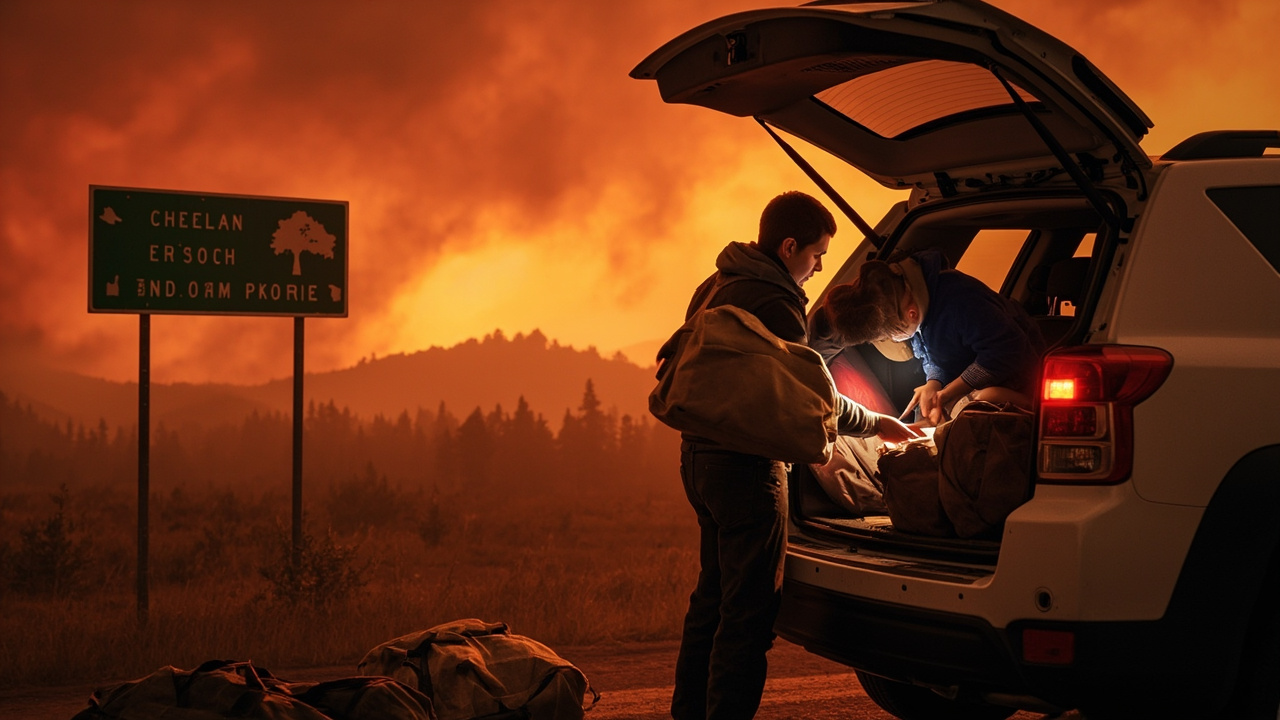
TL;DR: Evacuations were active on September 15, 2026, in Washington, Oregon, California and Oklahoma as the nation held at Preparedness Level 3 with 58 uncontained large fires.
Households in four states started the week under evacuation orders as wildfire activity held the United States at a high national response posture, according to the EM Morning Brief episode titled “Brief You on Evacuations in Washington, Oregon, California and Oklahoma - EM Morning Brief.”
The National Interagency Coordination Center held the country at National Preparedness Level 3, with 58 uncontained large fires and four new large incidents on the board, the briefing reported. Eleven Type 1 incident management teams were committed nationwide. Evacuations were in effect on fires in Washington, Oregon, California and Oklahoma. The season’s national total stood at 55,419 fires and just over 8.4 million acres.
That national picture frames household decisions on September 15: know your evacuation level, know your route, and leave promptly when officials order departure. Crews in the Southern Plains were working fires under temperatures near 100 degrees with relative humidity in the 20 to 30 percent range, the briefing stated, conditions that allow grass and brush fires to move quickly.
National fire posture on September 15
The Preparedness Level 3 designation signals that large fires are competing for crews, aircraft and management teams across geographic areas. According to the EM Morning Brief, four new large incidents had been added and 11 Type 1 teams — the most complex incident management organizations — were assigned.
The cumulative load for the year was 55,419 fires burning just over 8.4 million acres. For residents, the practical meaning is that local sheriffs, county emergency managers and state forestry agencies remain the authoritative voice for evacuation zones, road closures and re-entry, even as national resources shift between states.
Households should follow official guidance and stay safe, as the briefing urged, rather than relying on smoke views or social-media maps alone. Check county emergency management pages, state transportation alerts and National Weather Service warnings before traveling near fire areas.
Washington: Lake Chelan, Okanogan County and Spokane-area fires
In Washington state, evacuation Levels 1 through 3 remained in effect around the Lake Chelan corridor due to the ongoing Little Giant Fire, which had burned 172,695 acres in Chelan and Okanogan counties, according to NW FireWatch in “Evacuation Orders Remain Active Across Oregon and Washington; Okanogan County Lifts Sinlahekin Restrictions.”
Additional evacuation orders and warnings were in place near Tonasket, Inchelium and portions of the Spokane metro area, the same report stated.
The meaning of the numbered levels matters for household planning:
- Level 1 — Be Ready — means residents should prepare to evacuate at a moment’s notice.
- Level 2 — Be Set — means evacuation is recommended and imminent danger is possible.
- Level 3 — Go Now — is a mandatory evacuation order requiring immediate departure.
Residents in any Level 3 zone who had not yet evacuated were urged to do so immediately.
A separate assessment of Washington fires, published by IQAir Staff Writers in “Wildfire Map Spotlight: Washington Wildfires,” listed seven named incidents active or recently active on September 15, 2026, with locations and containment that help explain why multiple communities remained under orders at once.
The Ptarmigan Fire was burning in Okanogan County in the Pasayten Wilderness near the Pasayten Airstrip and the Middle Fork Pasayten River drainage, north of the Methow Valley. It had burned 25,166 acres and was 73% contained. Harts Pass Road and the Pacific Crest Trail near the Pasayten Wilderness remained partially closed.
The Sinlahekin Fire was burning northwest of Sinlahekin Campground near Tonasket in Okanogan County, with spread toward Palmer Mountain, Rattlesnake Peak, South Pine Creek and areas west of the Okanogan River. It had burned 166,021 acres and was 77% contained. Level 3 evacuation orders covered areas west of the Okanogan River north toward Oroville, while Level 2 warnings were in effect in Tonasket and nearby areas.
The Little Giant Fire was burning across Chelan and Okanogan counties through remote terrain around the Entiat River, Chiwawa River, Glacier Peak Wilderness and Lake Chelan. It had burned approximately 172,694.7 acres and was 81% contained. Level 1, Level 2 and Level 3 notices covered parts of the Lake Chelan south shore and the Manson side of the lake.
The Modrite Fire was burning across Ferry and Stevens counties near Inchelium, west of Lake Roosevelt and south of Bridge Creek Road. It had burned 57,594 acres and was 98% contained.
Three Spokane-area fires showed full containment but continued to affect re-entry and patrol awareness. The Autumn Lane Fire burned across Spokane and Stevens counties, including Suncrest, Swenson Road, Barney Coker Canyon and Indian Painted Rocks, at 5,764 acres and 100% contained. The Old Trails Fire burned in Spokane County around Nine Mile Road, West Francis Avenue, Five Mile and neighborhoods northwest of Spokane, at 3,175.9 acres and 100% contained. The Fairview Fire burned near Mead in Spokane County near North Fairview Road and East Piper Road through brush and grass, threatening nearby homes, power lines and timber, at 992.5 acres and 100% contained.
Okanogan County relief: Sinlahekin orders lifted
One area saw formal relief. All evacuation orders and advisories associated with the Sinlahekin Fire were officially lifted by county officials on September 12, according to NW FireWatch. The fire, which burned 166,026 acres and forced evacuations of hundreds of households at its peak, had transitioned to a mop-up and monitoring phase.
Return does not mean risk-free. Residents returning to properties in the Sinlahekin area were cautioned to be alert for fire-weakened trees and snags that may fall without warning, interior stump holes that can hold heat for weeks, unstable stream banks and hillslopes prone to erosion, damaged structures with compromised structural integrity, and ongoing smoke from interior smoldering.
Households re-entering any burned area should inspect driveways and access routes first, avoid ash pits and stump holes, and keep children and pets away from damaged outbuildings until utility and structural checks are complete.
Oregon: fourteen counties plus Warm Springs
Active evacuation orders remained in place across a broad stretch of Oregon’s central and eastern counties, according to NW FireWatch, which cited Healthcare Ready tracking of displacement events.
Evacuation orders were currently in effect in Baker County, Clackamas County, Crook County, Deschutes County, Gilliam County, Grant County, Harney County, Hood River County, Jefferson County, Sherman County, Umatilla County, Union County, Wasco County and Wheeler County. Evacuation orders also remained in effect for portions of the Confederated Tribes of Warm Springs reservation.
Fire-to-community links were specific. The Austin Fire burning southeast of Estacada on the Mt. Hood National Forest was driving some Clackamas and Hood River county evacuations, while the Paradise and Hagen fires were responsible for orders in Umatilla and Union counties.
For Oregon residents under orders, the report pointed to the Oregon Office of Emergency Management at oregon.gov/oem, Oregon 211 by dialing 2-1-1 or texting a ZIP code to 898-211, and local Red Cross shelters with locations listed at redcross.org. Washington residents were directed to the Washington Emergency Management Division at mil.wa.gov/emergency-management-division, Washington 211 by dialing 2-1-1, and Chelan County Emergency Management.
Oklahoma: immediate evacuation at Scott and the Gracemont Fire
The most urgent household action on September 15 was in Oklahoma. An Extreme Evacuation Immediate notice effective September 15, 2026, at 11:11 a.m. warned of a wildfire with immediate evacuation for Scott and along the Caddo-Canadian County Line, according to GovOneStop in “Oklahoma Extreme Evacuation Immediate | Effective 09/15/2026 11:11.”
The notice stated that at 1303 a large and destructive wildfire was burning out of control in northern Caddo County near Scott and spreading east-northeast rapidly. It warned that wildfires can damage or destroy structures and can harm or kill people and animals. For safety, residents were told to evacuate immediately toward State Highway 37 to the north.
The instruction defined the evacuation footprint as those between County Road 2670 and County Road 2690/S Mayberry Road and SW 74th and County Road 1130, who should leave the area now to avoid injury or death. The notice added: do not delay to pack belongings, roads in the area may be impacted by fire and smoke, never drive into heavy smoke, and slow down and move over for emergency vehicles. The listed expiration was September 15 at 1:11 p.m., with the forecast office identified as Oklahoma Emergency Management and the area description as Caddo and Canadian counties.
Local reporting identified the blaze as the Gracemont Fire. The Oklahoma Department of Emergency Management announced at 1:03 p.m. on Tuesday, September 15, that the ongoing wildfire was rapidly spreading in northern Caddo County near Scott, Oklahoma, according to The Oklahoman in “Evacuations ordered near Scott, Oklahoma, as Caddo County wildfire spreads.” The blaze had already burned more than 3,000 acres and continued to spread northeast. All residents between County Road 2670 and County Road 2690/S Mayberry Road and between SW 74th and County Road 1130 were told to leave before the fire spread further. The fire had been raging since Sunday, September 13, according to Tuttle Emergency Management.
That combination — heat near 100 degrees, humidity in the 20 to 30 percent range, and a fast-moving grass-fire front — leaves little time for packing once an immediate order posts. Households in Caddo and Canadian counties needed to act on the route instruction toward State Highway 37 and avoid smoke-covered roads.
California and concurrent weather hazards
The EM Morning Brief confirmed that evacuations were also in effect on fires in California, alongside Washington, Oregon and Oklahoma, though the September 15 snapshot did not detail California zones in the excerpt available to readers. California households were therefore urged to monitor CAL FIRE incident pages and county sheriff alerts for the specific fire nearest them.
Weather compounded fire risk. The Weather Prediction Center put the morning flash-flood threat over northeast Kansas and northwest Missouri, where training showers and thunderstorms were moving through, and carried a Moderate Risk of excessive rainfall over southern Arizona and New Mexico, where two to three inches was possible, according to the EM Morning Brief. Heat Advisories ran from the Southern Plains into the lower Mississippi Valley, with highs in the upper 90s to low 100s challenging daily records through midweek.
That overlap matters for go-bags: households evacuating from heat-driven fires may need water, shade planning and vehicle fuel, while households in the Southwest monsoon footprint needed to avoid flooded roadways and never drive through fast water.
Infrastructure alerts households should know
The briefing also flagged eight industrial control system advisories released by CISA covering Siemens Teamcenter, Mendix SAML and Reyrolle 7SR5 products, Schneider Electric SCADAPack x70 units, mySCADA myPRO Manager, Wärtsilä FOS-Onboard marine systems, Digital Watchdog video recorders and the CareCam CM2507. Utility, port and water operators running any of those platforms were told to pull the vendor mitigations that day. The agency also published implementation recommendations for federal agencies and cloud service providers on protecting tokens and assertions from forgery, theft and misuse.
Those advisories do not order household action, but they explain why water utilities and power operators may issue conservation notices or maintenance alerts during high-demand heat days. Residents should treat utility messages as complementary to evacuation orders, not a substitute.
What to do before the next order
All residents in fire-prone areas — whether currently under orders or not — were urged to maintain emergency go-bags and keep vehicles fueled, according to NW FireWatch, because conditions can change rapidly during September wind events and evacuation orders can be issued with little warning.
Keep identification, medications, phone chargers, water and a change of clothing packed. Park facing outward when warnings post. If officials announce Level 2 in Washington and Oregon or an immediate evacuation in Oklahoma, leave promptly along the assigned route — north toward State Highway 37 in the Scott-area order — and do not wait to gather belongings.