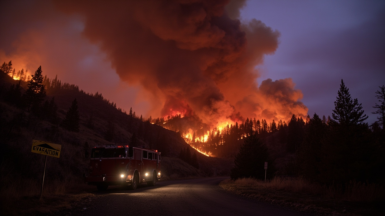
TL;DR: The Sinlahekin Fire near Tonasket covered 166,290 acres at 38% containment on September 3, 2026, with Level 3 Leave Now orders west of the Okanogan River toward Oroville.
Fire Size and Containment on September 3
The Sinlahekin fire near Tonasket spanned 166,290 acres with 38% containment on September 3, 2026, according to the Wildfire Report published that day. The same report described active fire behavior including wind-driven runs, torching, and smoldering. Management was listed under CIMT Southwest Team 3. The Northwest Area was operating at Preparedness Level 4 and coordinating 24 uncontained large fires across the region.
A separate account from NW FireWatch placed the footprint at approximately 166,290 acres with 38–39% containment as of September 4, 2026. That account also described aggressive burning in Okanogan County, Washington. The variation reflects daily mapping updates during an active incident. Households should use the September 3 figure as the newest verified fact inside this September 3 archive.
Where the Fire Is Burning
The Wildfire Report located the Sinlahekin fire near Tonasket. According to NW FireWatch, the fire was burning through grass, hardwood litter, and timber in rugged terrain west of Tonasket. The same source reported heavy fuel loads in the burn area. Crews reported wind-driven runs, torching, and smoldering. The terrain west of Tonasket complicates direct line construction and increases reliance on indirect tactics.
According to NW FireWatch, the fire's proximity to the Sinlahekin Wildlife Area adds complexity to suppression strategy. The same source described the wildlife area as ecologically sensitive habitat. An earlier NW FireWatch report dated September 1, 2026, said the fire was burning in and around the Sinlahekin Wildlife Area. That earlier report described the valley as a habitat corridor in north-central Washington.
Level 3 Evacuations Toward Oroville
Level 3 evacuation orders meaning Leave Now remained in effect for areas west of the Okanogan River extending north toward Oroville, according to NW FireWatch. Residents under Level 3 must evacuate immediately and should not wait for additional notice. The Okanogan County Sheriff's Office issued the evacuation orders. Area, road, and trail closures were also in effect within the fire perimeter.
According to NW FireWatch, residents and recreationists were urged to heed all closures. The same source urged residents not to attempt return to evacuated zones until officially cleared by county emergency management. For evacuation assistance, residents were directed to contact the Okanogan County Sheriff's Office at (509) 422-7200. Households with limited mobility should leave early rather than waiting for an upgrade to Level 3.
Level 2 and Level 1 Notices Around the Fire
Level 2 Be Set notices covered surrounding communities, which should be packed and ready to leave on short notice, according to NW FireWatch. Level 1 Be Ready notices covered residents in the broader fire area, who should monitor conditions closely and be prepared to act. An earlier NW FireWatch report dated September 1, 2026, listed Level 2 warnings for Tonasket and nearby communities tied to the Sinlahekin Fire and Ptarmigan Fire. That earlier report told residents to be ready to leave on short notice.
Washington uses a three-level evacuation system managed by county emergency managers, according to a September 1, 2026 NW FireWatch explainer on evacuation systems. Level 1 means Be Ready, with a threat in the area. Level 2 means Be Set, with a significant threat and readiness to leave at a moment's notice. Level 3 means Go Now, with evacuation required immediately and no return until officially cleared.
Structure Defense on Disappointment and Daisy Roads
Crews prioritized structure defense along Disappointment and Daisy Roads, according to NW FireWatch. Burnout operations were underway west of Tonasket to create defensible space and slow spread. Multiple residences remained threatened as crews worked to contain progress. Aerial resources including helicopters and air tankers supported suppression when smoke and wind conditions allowed safe operations.
According to NW FireWatch, a Comprehensive Incident Management Team from Southwest Team 3 was assigned to the incident. The Wildfire Report likewise listed CIMT Southwest Team 3 on the Sinlahekin fire. Centralized team management supports coordination of engines, crews, and aircraft across the large perimeter. Residents should expect heavy equipment traffic and temporary road restrictions near active work zones.
Washington Statewide Fire Load
Washington was managing multiple large fires during the same period, according to the Wildfire Report. The Little Giant fire in the Okanogan-Wenatchee National Forest northwest of Leavenworth stood at 170,784 acres with 65% containment and moderate backing and flanking. The same report listed the Kaiser Canyon fire south of Nespelem at 138,293 acres with 99% containment. The Three Queens fire east of Snoqualmie Pass stood at 9,364 acres with 8% containment.
Additional active incidents in Washington included Ptarmigan at 25,166 acres with 73% containment, Border 2 at 8,043 acres with 72% containment, and Luna at 7,648 acres with 34% containment, according to the Wildfire Report. The same report listed High Lava at 2,894 acres with 39% containment, Thunder Creek at 950 acres with 0% containment, and Electric at 622 acres with 17% containment. The Sisi fire was listed at 2,244 acres with 5% containment.
State Emergency and Burn Ban
Governor Bob Ferguson declared a statewide wildfire emergency on August 1 and simultaneously issued a statewide burn ban through at least September 30, according to a September 1, 2026 NW FireWatch report on statewide fires. The same report cited drought conditions, abnormally high temperatures, and high winds driving record-setting activity. As of September 1, 2026, the report counted 14 large fires actively burning across the state.
The Washington State Department of Ecology confirmed an emergency burn ban in effect statewide through noon on September 30, 2026, according to the same September 1, 2026 NW FireWatch report. The ban prohibited all outdoor burning, including recreational fires, agricultural burning, and debris burning. The Washington Department of Natural Resources coordinated multi-agency response alongside the U.S. Forest Service, Bureau of Land Management, and local fire districts.
National Preparedness Level 5
The United States remained at Preparedness Level 5 on September 3, 2026, according to the Wildfire Report. Initial attack activity was light, with 96 new fires reported nationwide the prior day. Firefighters were working to manage 78 uncontained large fires, with one new large incident, three large fires contained, and 19,102 personnel assigned nationwide. So far in 2026, firefighters had responded to 52,767 wildfires that burned 8,272,749 acres across the United States.
An international contingent from Australia and New Zealand remained assigned to support large fires in the Northwest and Great Basin geographic areas, according to the Wildfire Report. The contingent included two 15-member incident management teams and 212 fireline personnel. Two hundred forty soldiers from the 1st Battalion, 23rd Infantry Regiment, 7th Infantry Division based out of Joint Base Lewis-McChord remained deployed on the Little Giant fire. Multiple MAFFS C-130 airtankers were deployed to Santa Maria and Redding in California.
Weather Shift Over the Pacific Northwest
Overall large fire potential continued to decrease over the Pacific Northwest, Northern California, and western Idaho as showers with cooler temperatures spread across the area, according to the Wildfire Report on September 3, 2026. Spokane was forecast for showers with a high of 66 and low of 47. Seattle was forecast for rain with a high of 66 and low of 51. Yakima was forecast as partly cloudy with a high of 70 and low of 46.
Smoke from Washington's active fires generated moderate-to-heavy density plumes drifting generally eastward, according to the September 1, 2026 NW FireWatch statewide report. The same report said smoke impacted eastern Washington, northern Idaho, and Montana. Satellite imagery showed multiple distinct plume sources merging into a broad smoke field over the Inland Northwest. Households should keep windows closed during heavy smoke and limit outdoor exertion.
How Okanogan County Residents Get Alerts
Residents and evacuees should monitor the Okanogan County Emergency Management website and sign up for CodeRED emergency notifications, according to NW FireWatch. The Sinlahekin Fire InciWeb page at inciweb.wildfire.gov provides daily incident updates, maps, and resource information. Washington residents can receive emergency notifications through county Everbridge or AlertSense systems. Residents check county websites to register phone numbers.
Oregon's active evacuation orders are tracked on the Oregon State Fire Marshal's interactive map at osfminfo.org/maps, according to the September 1, 2026 NW FireWatch evacuation explainer. The same explainer said the map is updated as conditions change. Washington residents can track fire locations and evacuation zones through the WA DNR Wildfire Portal. Residents can sign up for Everbridge notifications through county websites.
What to Pack for Be Set and Leave Now
Every household in a fire-prone area should maintain a go-bag that can be grabbed in minutes, according to the September 1, 2026 NW FireWatch evacuation explainer. Essentials listed included important documents in a waterproof bag, medications and medical supplies, phone charger and backup power bank, and cash because ATMs may be unavailable. The list also included change of clothes and sturdy shoes, water and non-perishable food, first aid kit, and N95 masks for smoke protection.
The same explainer listed water as one gallon per person per day and non-perishable food for three days. Medications and medical supplies were listed for at least seven days. Vulnerable populations including elderly, disabled, those with medical needs, and livestock owners should consider leaving under Level 2. Both Oregon and Washington have programs allowing livestock owners to pre-register animals with local emergency management.
Household Actions During Closures
Do not enter closed roads or trails inside the fire perimeter, according to NW FireWatch guidance to heed closures. Keep driveways and access routes clear for engines and evacuation traffic. Park vehicles facing outward when under Level 2 so departure is faster if an upgrade arrives. Keep livestock trailers fueled and loading plans posted where household members can find them.
Keep phones charged and CodeRED, Everbridge, or AlertSense alerts enabled through the night. Save the Okanogan County Sheriff's Office number for evacuation assistance. Recheck InciWeb and county emergency pages for morning and evening updates. If smoke thickens rapidly or embers appear, leave without waiting for a door knock.
Timber and Community Impact Context
Summer wildfires in Washington scorched more than 886,000 acres, with 93,000 acres on state trust land, according to The Daily Chronicle report published September 4, 2026, citing state officials. The same report said two-thirds of that state land was forests. Twelve miles west of Tonasket, the Sinlahekin fire, which started July 26 and continued over 166,000 acres, cost the department timber revenue. As of September 4, the fire was 38% contained.
During the fire, four state timber parcels planned for auction during the next fiscal year burned, according to The Daily Chronicle. Two sales, named Ten Mile and Cold Park, would have brought at least $800,000 based on comparison with past sales of similar size. Those sales, now salvage harvests, carried combined minimum bids totaling $218,000. Households should treat recovery planning as long-term while suppression and evacuations remain the immediate focus.
Sources referenced
- Wildfire Report - September 03, 2026 (https://www.dailytechreader.com/2026/09/wildfire-report_02437869.html)
- Sinlahekin Fire Burns 166,000 Acres in Okanogan County; Level 3 Evacuations Remain Near Oroville — NW FireWatch (https://www.nwfirewatch.com/article/sinlahekin-fire-burns-166000-acres-in-okanogan-county-level-3-evacuations-remain-near-oroville)